This decade is critical in the fight against climate change. We’re starting to experience its repercussions in our daily lives, and many governments now understand scientists’ projections mean they must enact more stringent sustainability measures.
With decarbonization policy, green energy overhauls and pollution taxes agreed as the best solution, government and industry must develop affordable, workable sustainability technologies.
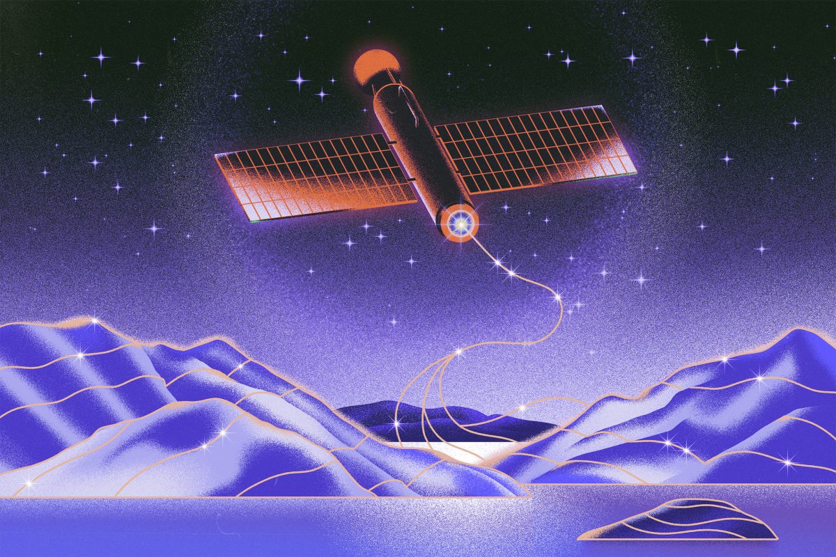
While energy, conservation and transport technologies get much airtime, we rarely discuss the role space technology like satellites can play in avoiding climate catastrophe.
An eye on the Arctic
European Space Agency (ESA)’s Mark Drinkwater explains, “Throughout the satellite era, polar scientists pointed to the Arctic as a harbinger of more widespread global impacts of climate change. As the events of 2020 make their marks in the climate record, it’s evident a ‘green’ low-carbon Europe alone is insufficient to combat the effects of climate change.”
Our acute understanding of the scale of the problem we face is thanks in part to climate-monitoring satellites. While weather satellites have been in our skies since the Space Race days, observation platforms for environmental monitoring achieved lift-off in the 2000s. These satellites track disasters like wildfires, hurricanes and oil spills, and longer-term shifts in temperature, loss of polar ice and changes in the jet streams.

Kaspersky National Cybersecurity
Securing nation states
Prevent cyberespionage, protect critical infrastructure and detect and respond to advanced threats.
ESA’s Copernicus Program delivers expansive climate monitoring services using their Sentinel satellites. Copernicus recently reported July 2020 as the third warmest July on record and several heatwaves and wildfires in the Arctic Circle.
Multiplying like wildfire
Arctic permafrost contains some of the most carbon-rich soils of any environment, safely frozen for centuries. As it thaws, it releases stores of CO2 and particles, causing an exponential warming cycle, particularly when subjected to wildfires – common in the Arctic as they are elsewhere. Multiplier events like these have scientists worried that politicians’ optimistic predictions are far-fetched.
The next wave of Sentinel systems is gearing up as Copernicus 2.0 gains momentum. One candidate mission is the Copernicus Imaging Microwave Radiometer (CIMR) platform, a microwave radiometer giving all-weather, high-resolution estimation of ocean and sea-ice features like temperature and salinity. Another is the CRISTAL mission, measuring sea ice thickness and snow depth with a dual-frequency radar altimeter and microwave radiometer.
ESA’s Director for Earth Observation, Josef Aschbacher, explains, “These missions will provide new year-round monitoring throughout the Arctic and CO2 emissions data to support the European Green Deal.”
Early warning of disasters could save lives
The sharp end of environmentally turbulent times is the increasing frequency and severity of natural disasters.
In April 2021, ESA awarded a three-year contract to develop a natural disaster early warning system to a consortium including a maritime satellite communications provider, an independent research group and a meteorological tech developer.
Aiming to help governments with emergency response, it will use a reliable, mobile satellite network and earth-based internet of things (IoT) infrastructure to alert at-risk populations to danger. “We aim to demonstrate using a secure satellite communication‑IoT solution to help civil government reduce risks from geohazards like avalanches, debris flow and floods,” said senior researcher Ivan Depina.
The project will be trialed in Trøndelag, Norway, a region whose geology and climate make it especially susceptible to natural disasters like landslide and flood.
Sounding the alarm on commodity-driven deforestation
Constant monitoring at satellite scale could prove a powerful defense for vital natural ecosystems like forests and peatland, under threat from irresponsible agriculture, natural disasters and climate change impacts.
One satellite sustainability project making a stir in this arena is Ecometrica‘s Forests 2020 project, funded by the UK Space Agency’s International Partnerships Programme (IPP.) The satellite sustainability reporting service worked with the Ghana Forestry Commission and the Kwame Nkrumah University of Science and Technology to map land use across Ghana and segregate cocoa agriculture from natural forests.
The Ecometrica platform, the new map and other satellite-based data like deforestation alerts mean commodity trading companies can have their environmental impact more accurately assessed to help stamp out deforestation.
The map is the latest in a series of initiatives to enhance sustainability for Ghana’s agricultural commodities, such as cocoa. It aims to end deforestation while promoting forest restoration.
Paula McGregor, Space Program Manager, Ecometrica
Ecometrica also works on soy, oil palm and tobacco projects, producing data commodity trading companies can use to regulate their activities and inform environmental protection investment.
“To make an impact, satellite-derived insights must be delivered in ways decision-makers in government and the private sector understand. Forests 2020 made clear governments and companies can use this kind of information to understand their impacts and climate risks, and take action,” says Ecometrica’s McGregor. “Satellite-based monitoring is an affordable way to monitor ecosystems at scale, guiding priority interventions, investment needed to protect threatened ecosystems and future risks to these regions from climate change.”
NASA leading the charge
NASA on their climate research and monitoring goals for 2022 and beyond
In 2021 NASA asked the US government to increase funding for their work, including climate monitoring. The administration had already established a Senior Climate Advisor at NASA to prioritize environmental objectives.
A large part of NASA’s new climate work includes the Earth System Observatory, connecting satellites data to produce a “3D, holistic view of Earth, from bedrock to atmosphere,” useful for tracking climate change, improving conservation and disaster mitigation.
“I’ve seen first-hand the impact of hurricanes made more intense and destructive by climate change,” explains NASA Administrator Senator Bill Nelson. “[Our] response to climate change matches the magnitude of the threat: A whole of government, all-hands-on-deck approach.”
The National Academies of Sciences, Engineering and Medicine’s 2017 to 2027 Earth Science Survey, outlining climate science objectives like air quality forecasting, drought assessment and ecosystem carbon fluxes, informed the observatory’s design.
Senator Nelson continued, “Over the past three decades, much of what we’ve learned about the changing climate is built on NASA satellite observations and research. NASA’s new Earth System Observatory will expand that work, providing the world with an unprecedented understanding of Earth’s climate system, arming us with next-generation data critical to mitigating climate change, and protecting our communities in the face of natural disasters.”
Scientists know well the extent of climate change and national organizations are starting to act. With corporations following suit, we could have the power to reverse climate change’s worst-case scenario, a genuinely apocalyptic 4 degrees warmer world. With the best tools identifying the options to move forward, we cannot afford to ignore their observations. Our eyes in orbit see the bigger picture unfolding.


